Top 7 Sedona Hikes With The Best Views
Wondering which Sedona hikes have the best views? If so, this article’s for you.
Sedona’s beautiful red rock country is home to many excellent trails, for all experience levels to enjoy. You can see unique rock formations all throughout Sedona, but the views you get from hiking are unbeatable.
This article will cover my favorite trails in Sedona for the most rewarding views.
Whether you prefer flat trails or scrambling up a mountain to a beautiful vista, there’s something here for everyone.
Ready to discover Sedona’s best hikes? Let’s jump right in!
Sedona Hikes With The Best Views
Cathedral Rock
- Length: 1.4 miles roundtrip
- Difficulty: Moderately challenging
- Parking: Mon-Wed: Cathedral Rock/Little Horse trailhead ($5 or Red Rock Pass), Thurs-Sun: North SR-179 Park & Ride and take the Sedona Shuttle to the trailheads (free)
Cathedral Rock is by far my favorite Sedona hike, and it’s known for being the most powerful energy vortex site in town!
It’s a moderately challenging, 1.4 mile hike that’s mostly uphill, and it took me just under an hour to complete. The hardest part of this hike is the middle of the trail, where you’re required to scramble up the red rocks.
But once you get past this portion, the rest of the hike is relatively easy.
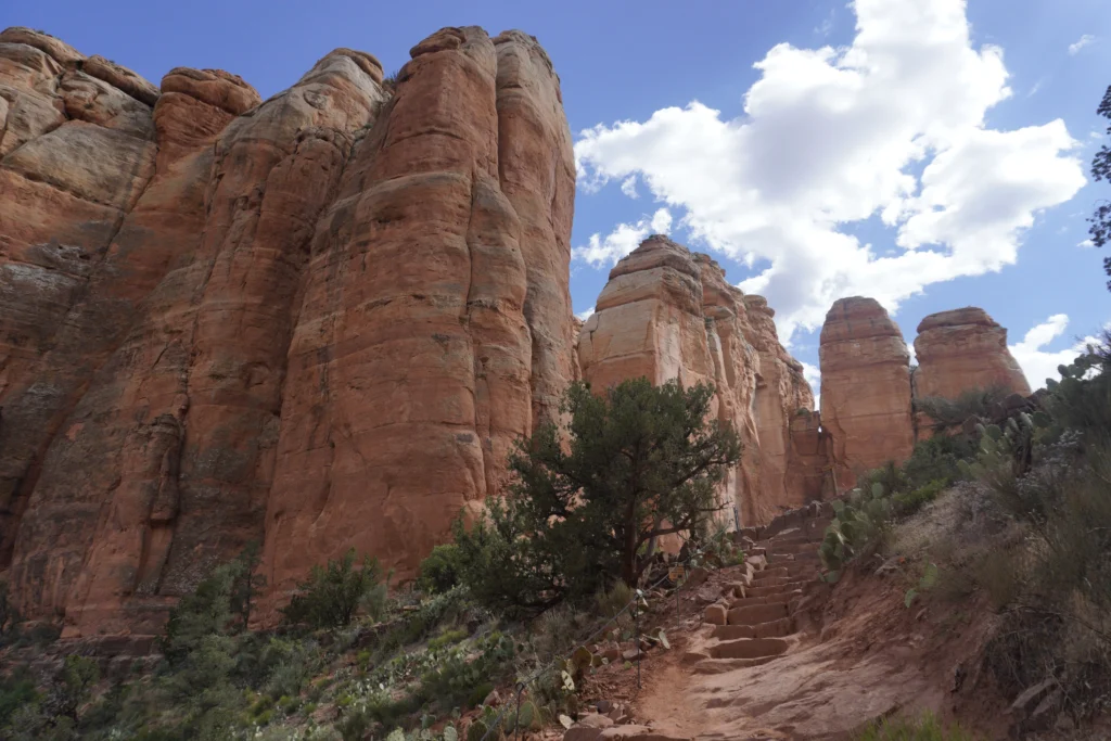
As you stop to take breaks throughout this hike, you’ll have an amazing view of the red rocks.
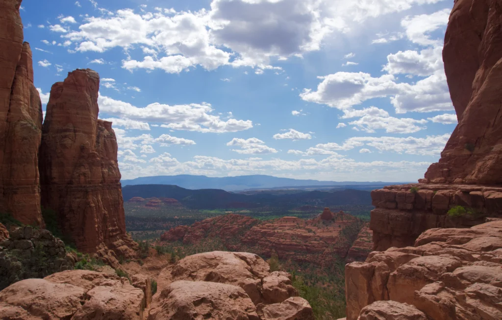
Once you reach the end of the trail, there’s a beautiful vista of the red rocks.
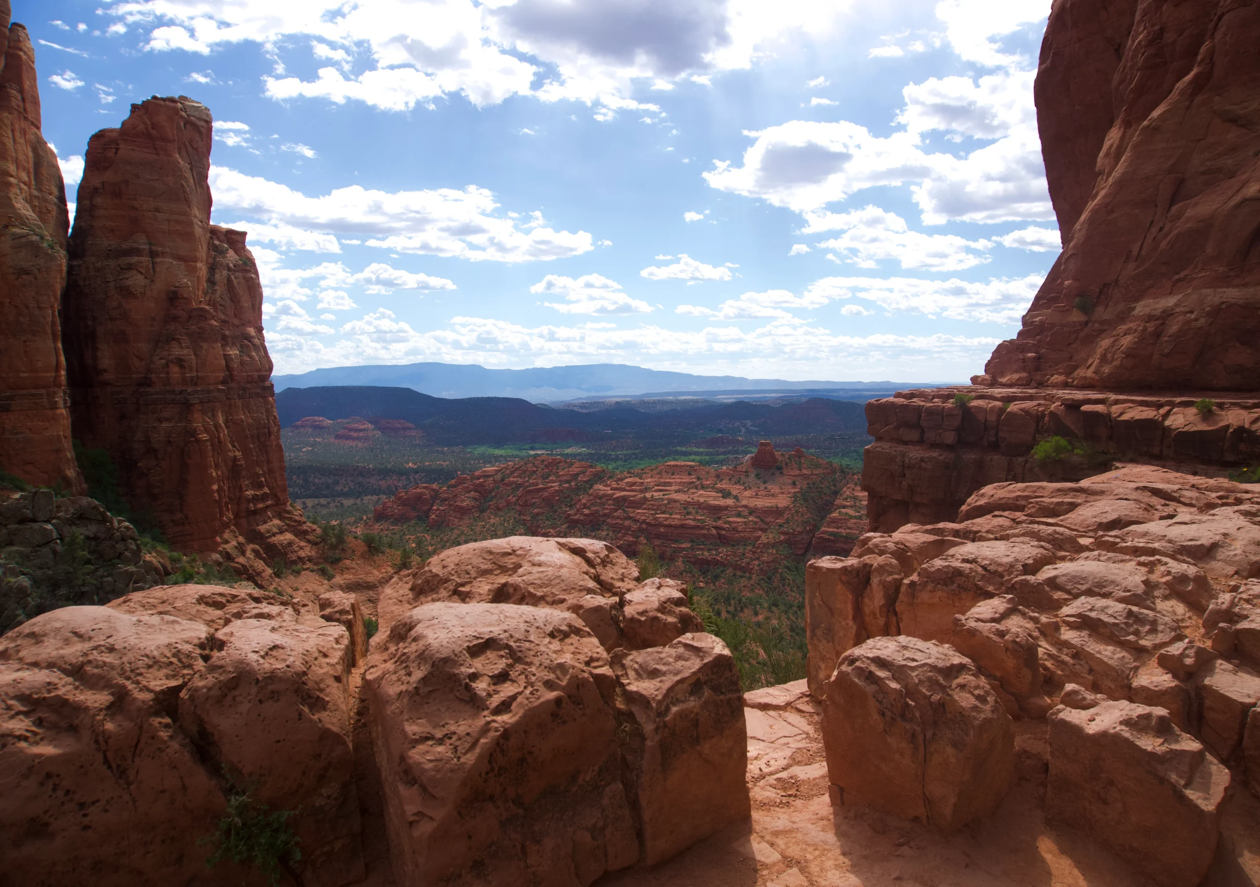
If you want to reach the vortex site, you can continue walking left of the “end of trail” sign, and take another left until you see a large pillar.
In front of the pillar is where the vortex’s supposedly located, and another excellent place to take photos!
Parking here is extremely limited, so I recommend taking the Sedona shuttle. You can park at the North SR-179 Park & Ride for free, and take the free shuttle to the trailhead Thursday through Sunday.
Devil’s Bridge
- Length: 3.9 miles roundtrip from Mescal/Dry Creek Vista trailheads
- Difficulty: Moderately challenging
- Parking: Dry Creek Road or Mescal Trailhead (free, no Red Rock Pass needed), use Sedona Shuttle during peak times from Posse Ground Park & Ride lot.
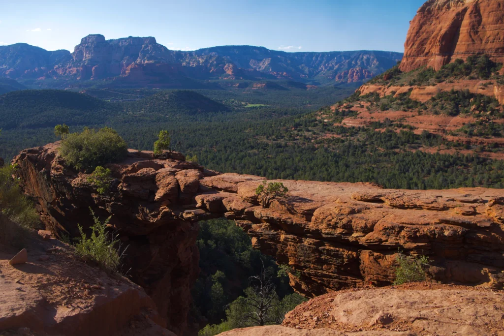
Devil’s Bridge is the most popular Sedona hike, known for having the largest natural rock arch formation in town. The trailhead is only accessible by 4×4 vehicle, so most people park at the Dry Creek Road vista or Mescal trailhead.
Parking here is free, and it’s around a 3.9 mile round trip hike from these trailheads to Devil’s Bridge. I found parking at the Dry Creek Road vista, and hiked from there.
This hike began on a well paved trail, then a road shared with 4×4 vehicles up to the trailhead.
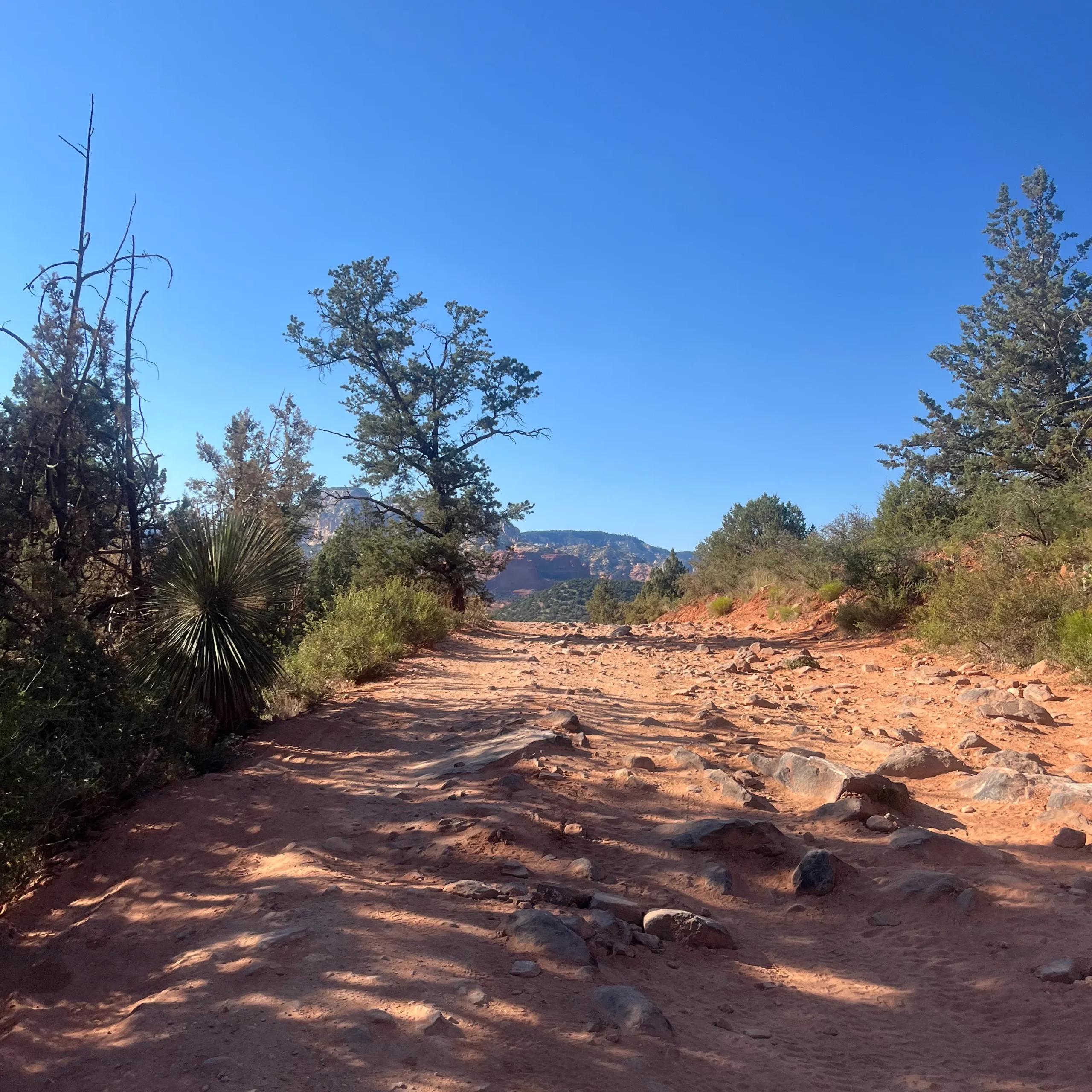
Once you reach the trailhead for Devil’s Bridge, the rest of the hike is mostly uphill.
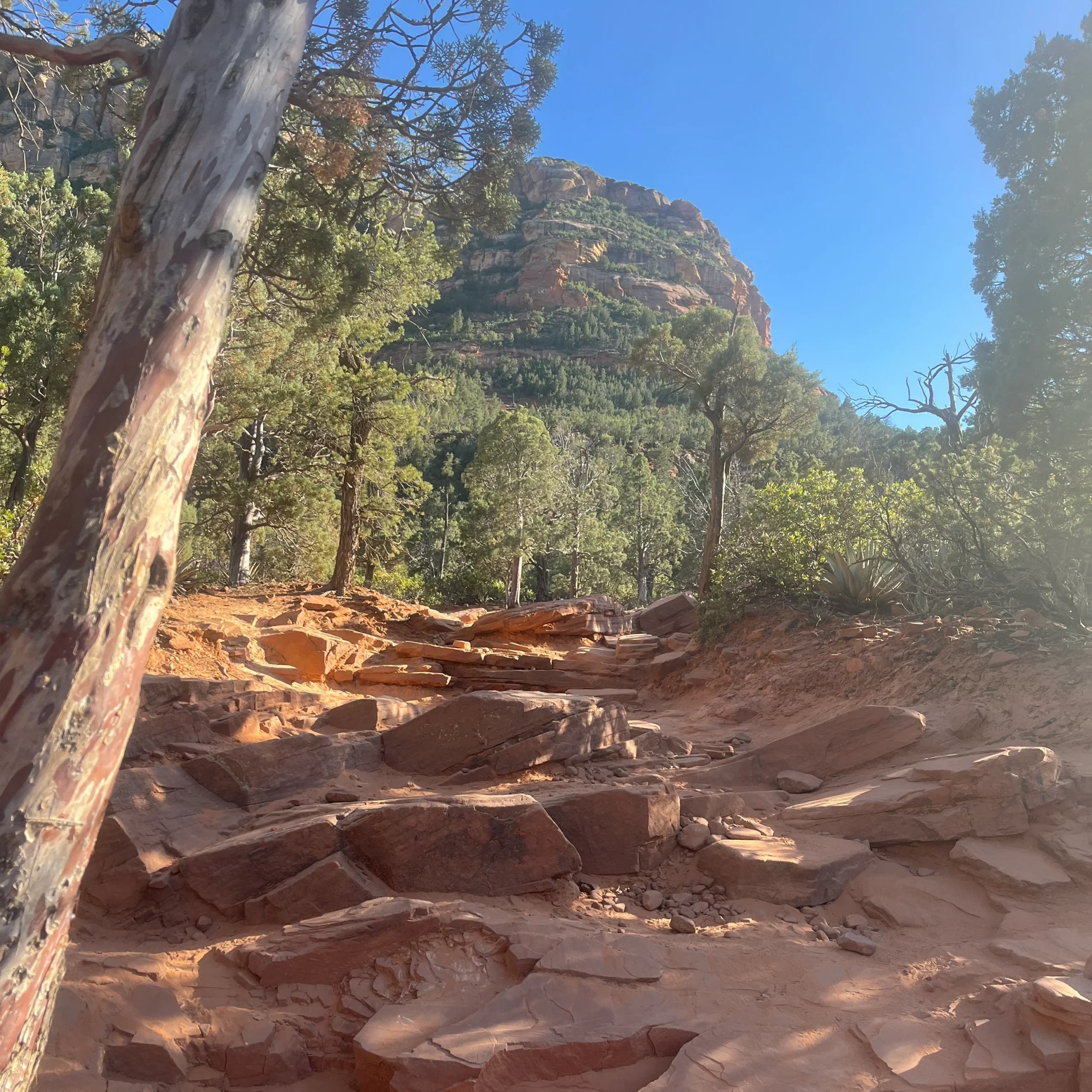
The hardest part of the hike is a steep, small set of stairs leading to the arch, but it’s not difficult at all.
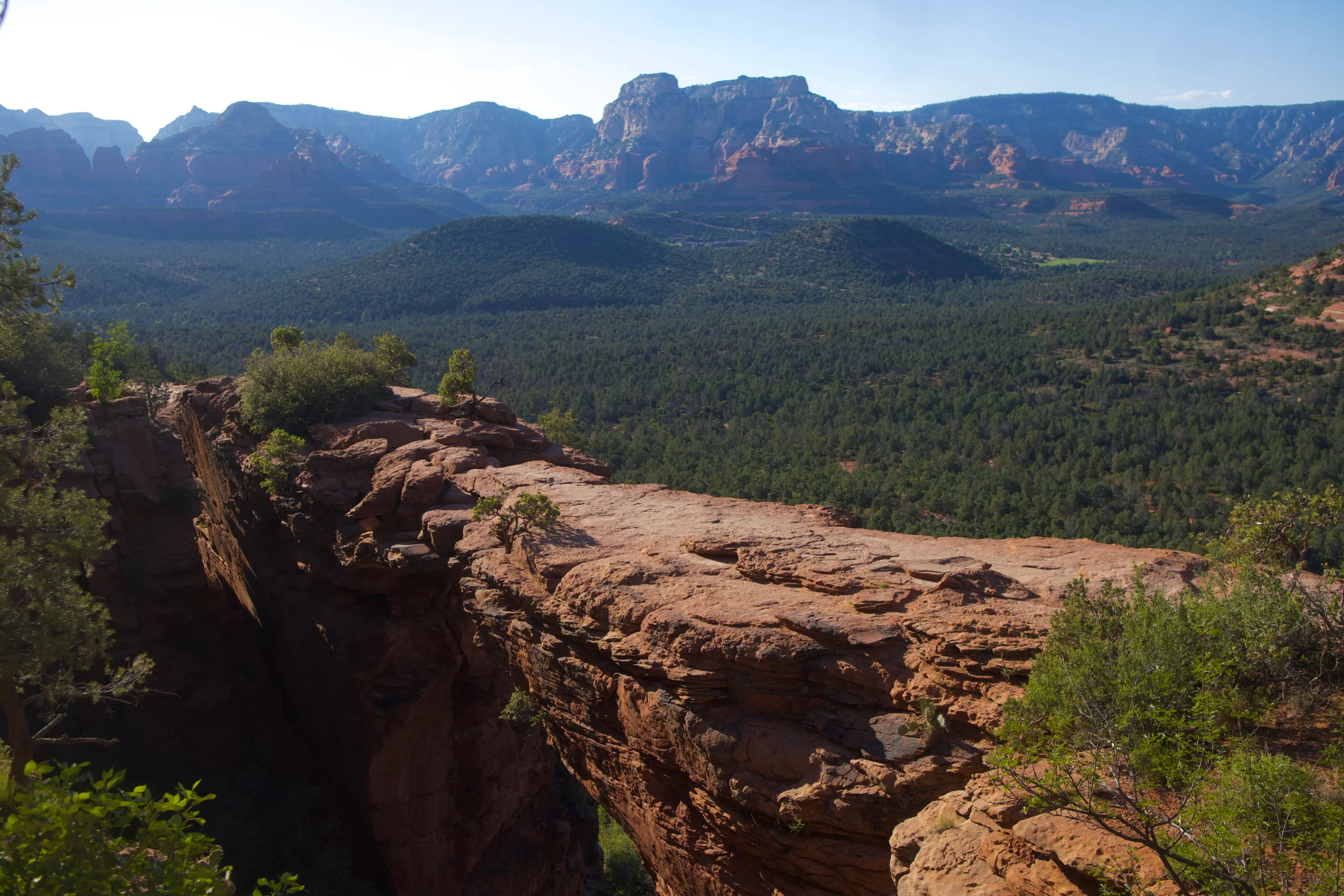
At the top, there’s an amazing view of the sandstone arch and valley.
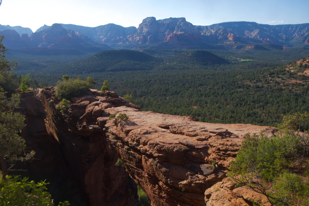
The arch is a lot wider than pictures do it justice, so you can easily walk over it to snap a photo.
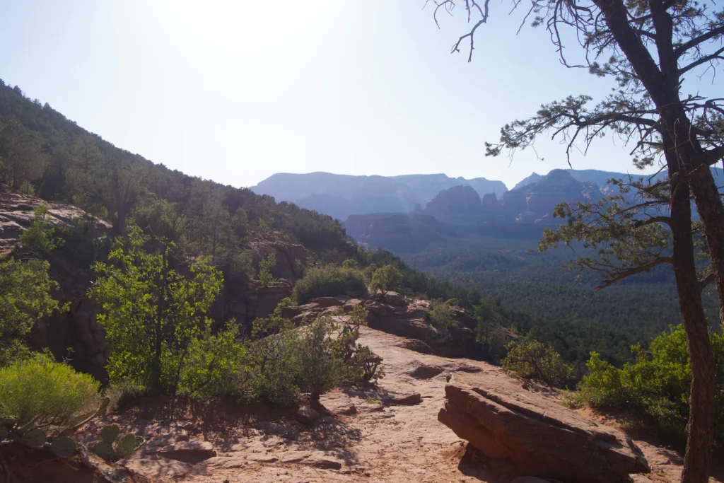
Given I visited on a weekday afternoon, there were only a handful of people at the arch. Keep in mind that if you visit during peak times, you may have to wait in a line to take a picture.
After you visit the arch, you’ll hike back in the same direction you came in.
If you can’t find parking at the Mescal or Dry Creek vista trailhead, you can take the Sedona shuttle Thursday through Sunday.
You’ll just park at the Posse Ground Park and Ride lot, and take the free Sedona shuttle to these trailheads. There are pit toilets at the Dry Creek trailhead, but no restrooms at the Mescal trailhead.
Bell Rock
- Length: 0.8 miles from Courthouse Vista parking lot
- Difficulty: Easy
- Parking: Courthouse Vista lot (closest to trailhead) or Yavapai Vista Point lot ($5 or valid Red Rock Pass)
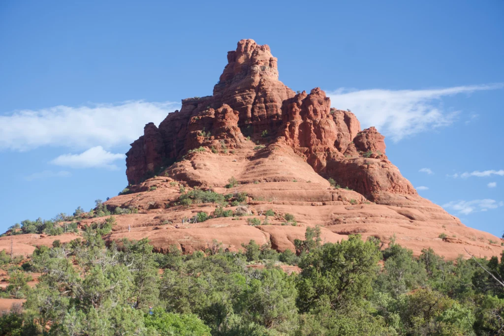
If you’re looking for an easy hike with some of the best views, look no further than Bell Rock. The Bell Rock trail is only 0.8 miles, and ends midway up the mountain.
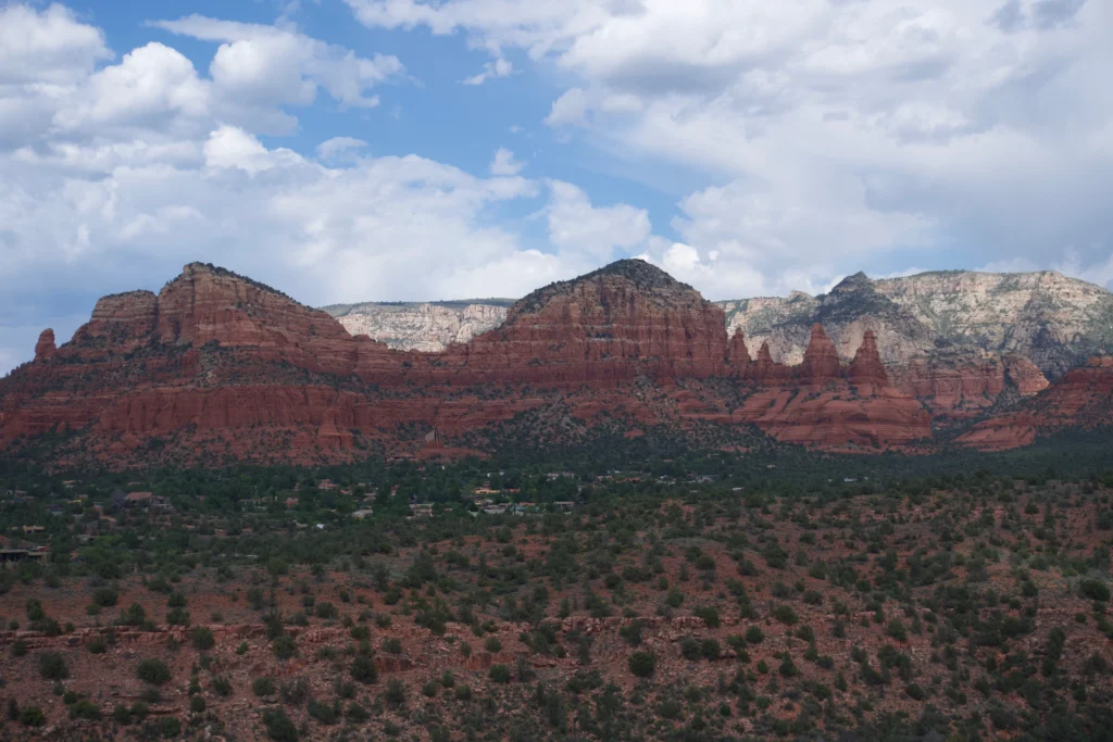
From here, you’ll have an amazing view of the red rocks.
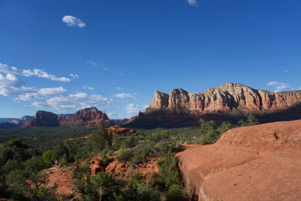
Similar to Cathedral Rock, there’s another “upflow” energy vortex site at the top of Bell Rock. If you want to reach the top of the mountain, you’ll have to do a decent amount of scrambling.
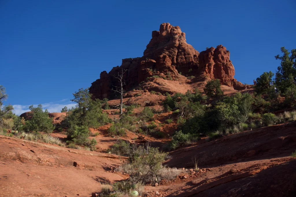
Bell Rock is considerably steeper than Cathedral Rock, so it may not be suitable for all hikers. I only hiked halfway up the mountain, but the views were great nonetheless.
The best place to park for this hike is the Courthouse Vista parking lot, which is right near Bell Rock trailhead.
There’s additional parking at the Bell Rock pathway lot (Yavapai Vista Point), but it’s around a 10 minute walk to the Bell Rock trailhead. Parking at these lots is $5, or covered with a valid Red Rock Pass.
It can be easy to confuse the Bell Rock Pathway Loop with the Bell Rock Trailhead from the parking lots. The Bell Rock trail is a short trail up Bell Rock, whereas the Bell Rock pathway loop is a loop trail around Bell Rock and Courthouse Butte.
If you park at Courthouse Butte, it’s straightforward since you’ll be right at the base of Bell Rock.
If you park at the Bell Rock Pathway Lot, just make sure to walk south until you approach the Bell Rock trailhead.
Boynton Canyon Trail and Subway Cave
- Length: 5.3 miles roundtrip to the Subway Cave, 1.1 roundtrip to vortex via Boynton Vista trail
- Difficulty: Easy
- Parking: Boynton Canyon Trailhead ($5 or valid Red Rock Pass)
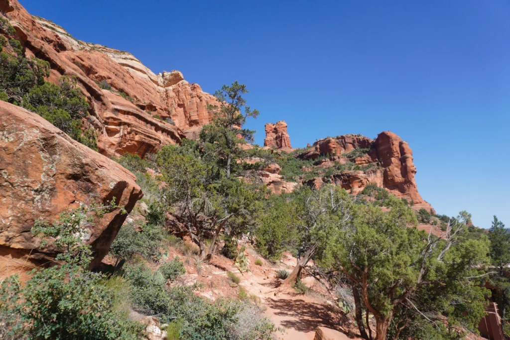
Boynton Canyon is a very popular Sedona hike surrounded by greenery, with stunning canyon views. This hike is most known for the secret subway cave, a beautiful cave located off of the main trail.
To get to the cave, you’ll begin hiking the Boynton Canyon Trail, a mostly flat trail with views of the resorts. At around 2 miles into the trail, you’ll see a large Juniper tree with long branches.
Here you’ll turn right, and hike around a half mile on a narrow trail to the subway cave. You’ll have to do a bit of scrambling to get to the cave, but the views make it well worth it.
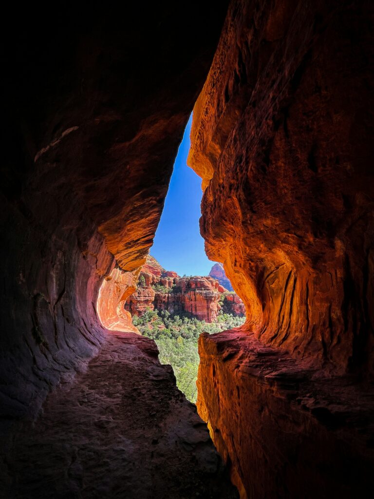
Boynton Canyon is also one of Sedona’s most well-known vortexes, which you can reach via the Boynton Vista Trail.
To get to this trail, you’ll start by hiking the Boynton Canyon Trail for around 0.4 miles, until you reach a sign for the Vista trail.
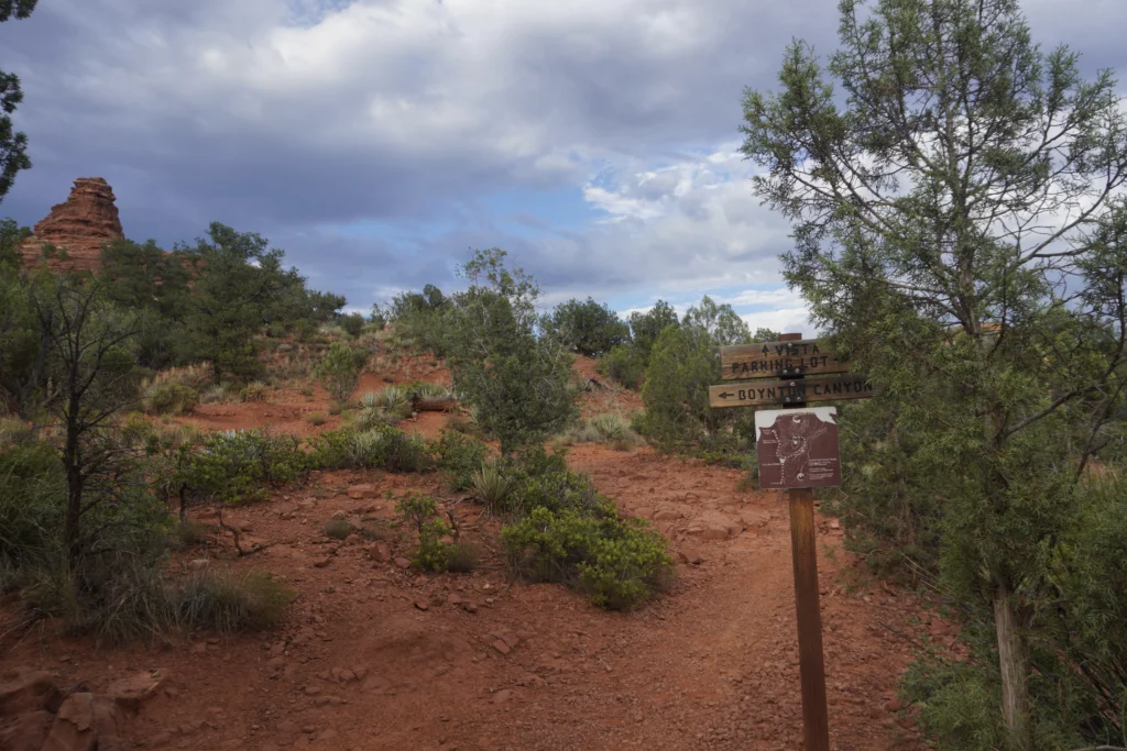
From this point, it’s a 0.2 mile hike that leads to the vortex site at the end.
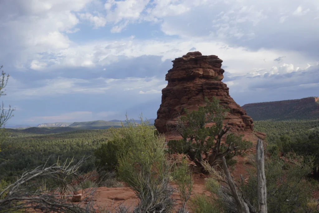
Airport Mesa Trail
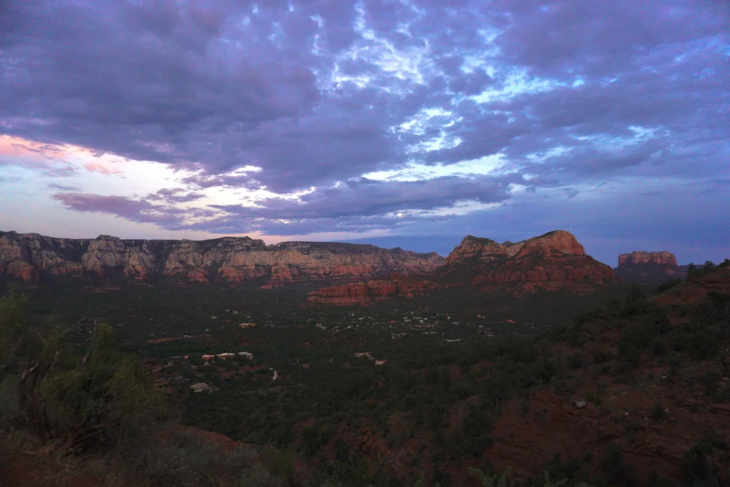
- Length: 0.4 miles roundtrip to vortex, or 1.2 miles roundtrip via Airport View Trail
- Difficulty: Easy
- Parking: Airport Mesa (free, limited small lot) or Sedona Airport Scenic Overlook parking lot ($3, doesn’t accept Red Rock Passes)
Airport Mesa is one of Sedona’s most scenic and underrated hikes. The trail leads to a vortex site that’s considered an “upflow vortex”. If you park at Airport Mesa’s small lot, it’s just a 0.2 mile hike up a flight of stairs to get to the vortex.
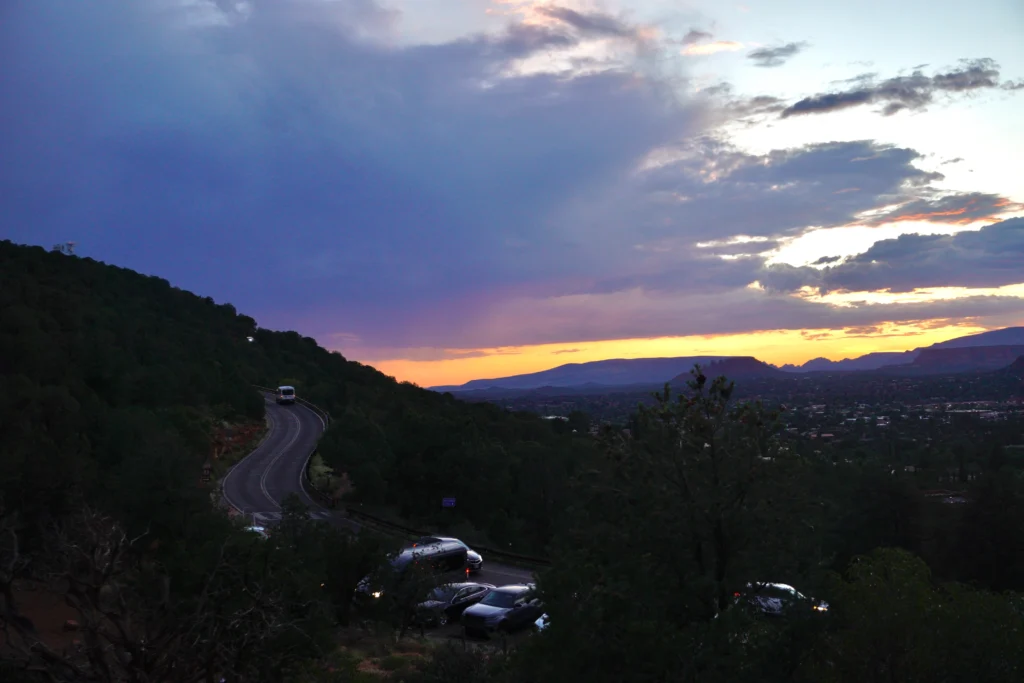
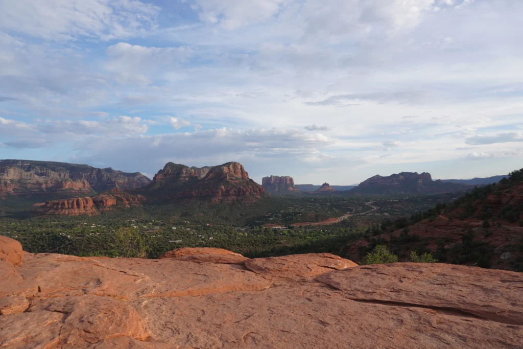
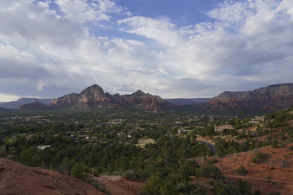
Parking by the vortex is very limited, but you can park at the large lot by the airport for $3 (Red Rock Passes aren’t accepted here).
From this lot, you’ll hike the Airport View Trail (~1.1 miles roundtrip) down to the Airport Mesa viewpoint.
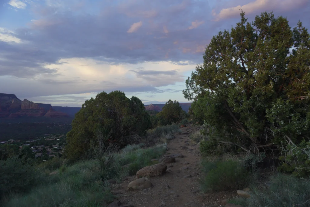
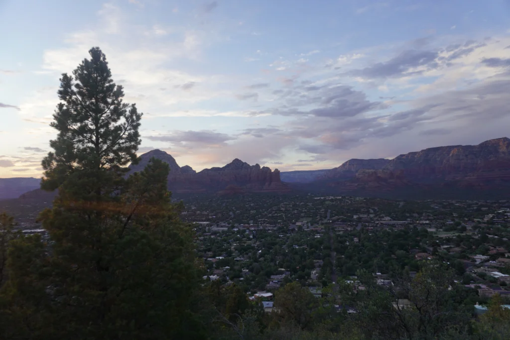
This trail adds around a mile to the hike, but you’ll have an amazing view of West Sedona and the red mountains throughout.
West Fork Of Oak Creek Trail
- Length: ~6.5 miles round trip
- Difficulty: Easy, with 13 different river crossings
- Parking: Call O’ Canyon Day Use Lot ($12/vehicle), or $3/person walk-in. If the main parking lot’s full, you can park off of highway 89A, a 0.5 mile north of the main parking lot.
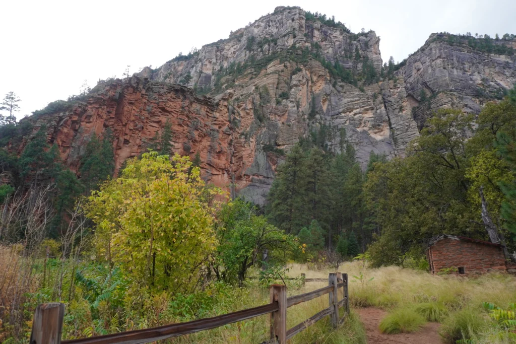
The West Fork of Oak Creek trail is an easy 6.5 mile roundtrip hike at the base of Oak Creek Canyon (10 minutes north of Uptown). The river of Oak Creek flows throughout this trail, and there’s 13 separate river crossings which require you to get your feet wet!
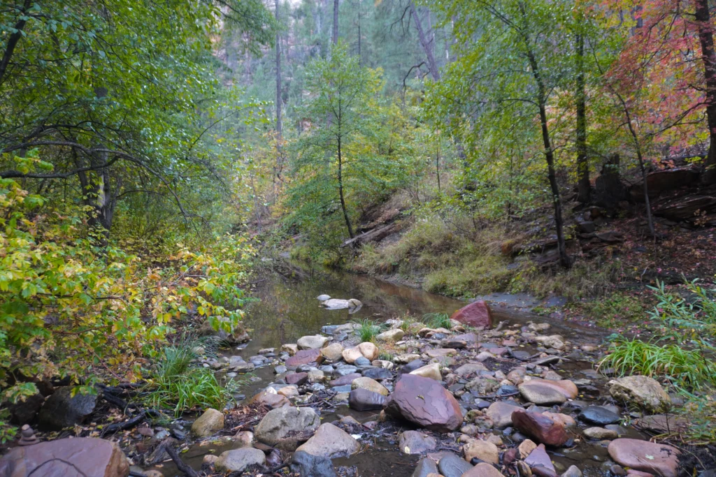
Throughout the hike, you’ll get to enjoy the forest scenery, and see a historic log cabin, red-orange edges of the canyon, and the river streaming over the red rocks. If you love being by the water or feeling far out in nature, this is the hike for you.
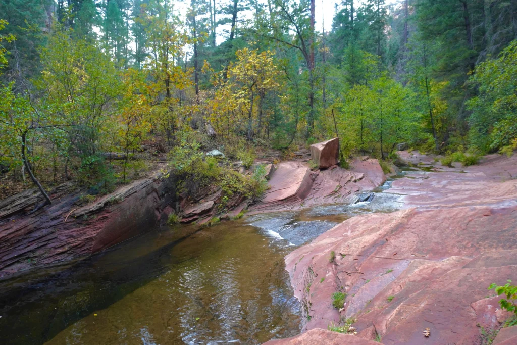
Just remember to wear water shoes/sandals, as at around a mile into the hike, you’ll need to get your feet wet to cross the river.
Bell Rock Pathway and Courthouse Butte Loop
- Length: 3.6 miles roundtrip
- Difficulty: Easy
- Parking: Courthouse Vista lot or Yavapai Vista Point lot ($5 or valid Red Rock Pass)
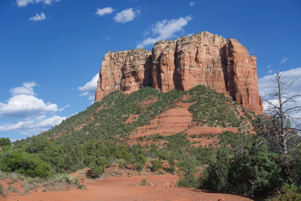
Not to be confused with the Bell Rock Trail, the Bell Rock Pathway is a trail that loops around Courthouse Butte and Bell Rock. This trail is 3.6 miles roundtrip, mostly flat, and has amazing scenery all throughout.
This is the perfect trail for a day hike, and it connects to multiple different paths (Baby Bell Rock, Llama Trail, Little Horse Trailhead).
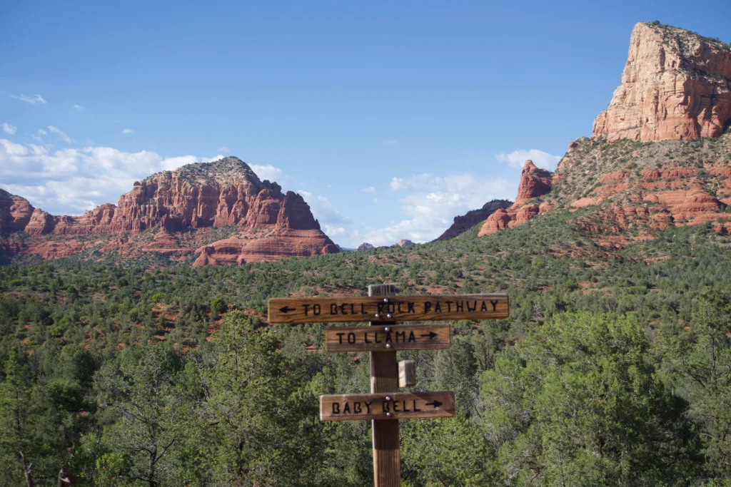
If you’re looking for a peaceful hike away from crowds, this is the place to go.
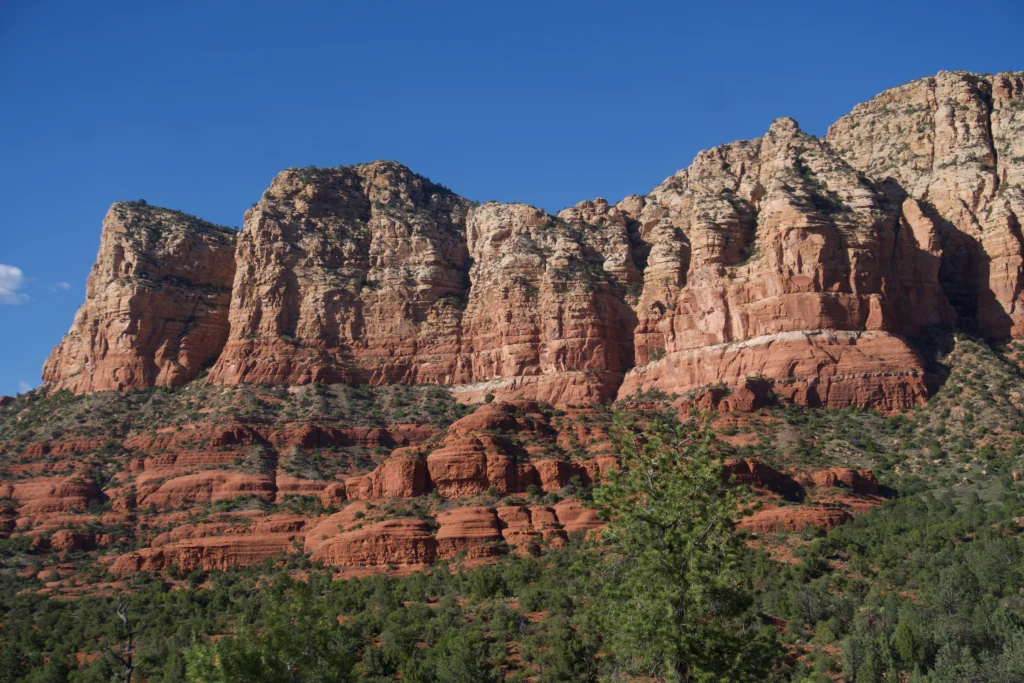
You can easily venture off the paths to make the hike as long as you want. I hiked for around 2 hours, and only saw a few bikers on the trail, and more people as I approached Bell Rock.
Parking here is the same as for Bell Rock. You can park at Courthouse Vista or the Bell Rock pathway lot (Yavapai Vista Point) for $5, or with a valid Red Rock Pass.
Sedona Hikes FAQs
Which hikes are dog-friendly?
Most of Sedona’s hikes, including all on this list, allow dogs as long as they’re leashed. The only trails that don’t allow dogs are those within Red Rock State Park, such as Eagles Nest and Javelina Trail.
The most dog-friendly hikes on this list are Boynton Canyon, Little Horse Trail, and Bell Rock. Cathedral Rock and Devil’s Bridge involve climbing up rocks and stairs, so they may not be suitable for all dogs.
Which Sedona hikes are suitable for kids?
All of the hikes on this list are relatively short, and suitable for active families with kids.
However, Cathedral Rock and Devil’s Bridge have steep inclines so you may have to help your little ones up during parts of the hike.
Which vortex hikes are the best?
Sedona’s most popular vortex hikes are Cathedral Rock, Bell Rock, Boynton Canyon, and Airport Mesa.
If you only have time for one vortex hike, I highly recommend Cathedral Rock. Cathedral Rock is considered the most powerful vortex site, and it was by far my most memorable hike.
If you’re looking for an easily accessible hike, Airport Mesa and Boynton Canyon are good options.
The only vortex hike I wouldn’t recommend for beginners is Bell Rock, since it’s steeper than Cathedral Rock, and requires lots of scrambling.
Related articles you may be interested in:
